Introduction The use of drones is gaining tempo in recent years. Unlike manned aircraft, the drones can stay overhead for many hours. The drones are m...read more

Photogrammetry and its History Photogrammetry is a technique that works on photographs for making maps and surveying. This technology came into existe...read more
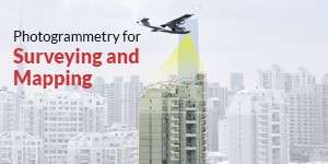
There is the long History of Photogrammetry use in the field of surveying and mapping. Photogrammetry can also use for measuring points as well as to ...read more

The career scope in the present scenario has broad exposure. The emerging modern technologies and latest inventions have developed a vast arena of car...read more

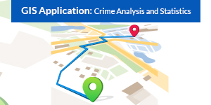
When you say GIS, most people will stay blank on mentioning it. When you suggest GPS tracking, crime investigation, and Google maps they are all ears ...read more

Discuss Geoinformatics, and the vast majority will have a big question mark on their faces. Later when you start explaining them about satellites, GPS...read more
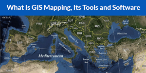
The most popular use of a GIS is to generate data visualizations in the kind of a map. The concept tells each imagination relates to something that mi...read more
As you have seen, what is GIS, so I hope you have a sufficient idea about the GIS. Now, all you are searching is for areas of GIS applications and wha...read more
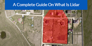
Ever imagined you can now calculate how far everything is away from you? Yes, LiDAR (Light Detection and Ranging) does this for you. Excited to know w...read more
Grasp The Futuristic World of Construction and advance your skills.