UAV Technology and photogrammetry The key strengths that UAVs build on Photogrammetry are: Availability, Affordability, and Versatility. They enable s...read more
Introduction Photogrammetry is specifically a method to carry out surveys and prepare maps using photographs. It is an art, science, and technology of...read more

Introduction Geospatial technology is a system that comprises of subsystems like GIS, photogrammetry, and remote sensing. These subsystems help in the...read more

Introduction Perfection is the most significant thing when carrying out any task. Any work doesn’t have a meaning if it has not been up to the m...read more

Introduction Somewhere in 2016 when Amazon first make use of a drone to deliver its product no one could imagine that it would be a revolutionary step...read more
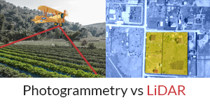
Photogrammetry is the science and technique that blends photography and geometry. The principle is straightforward, yet it has a significant impact on...read more

Introduction The Indian construction sector is a fastest growing industry in the present scenario. The industry is making extensive use of modern tech...read more
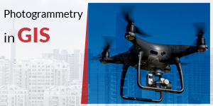
Geographic Information System (GIS) Geographic Information System is the one in which geographic information shared and displayed using GIS applicatio...read more

Basic Definition of Photogrammetry The basic definition of photogrammetry is the art, science, and technology of gathering reliable information regard...read more
Grasp The Futuristic World of Construction and advance your skills.